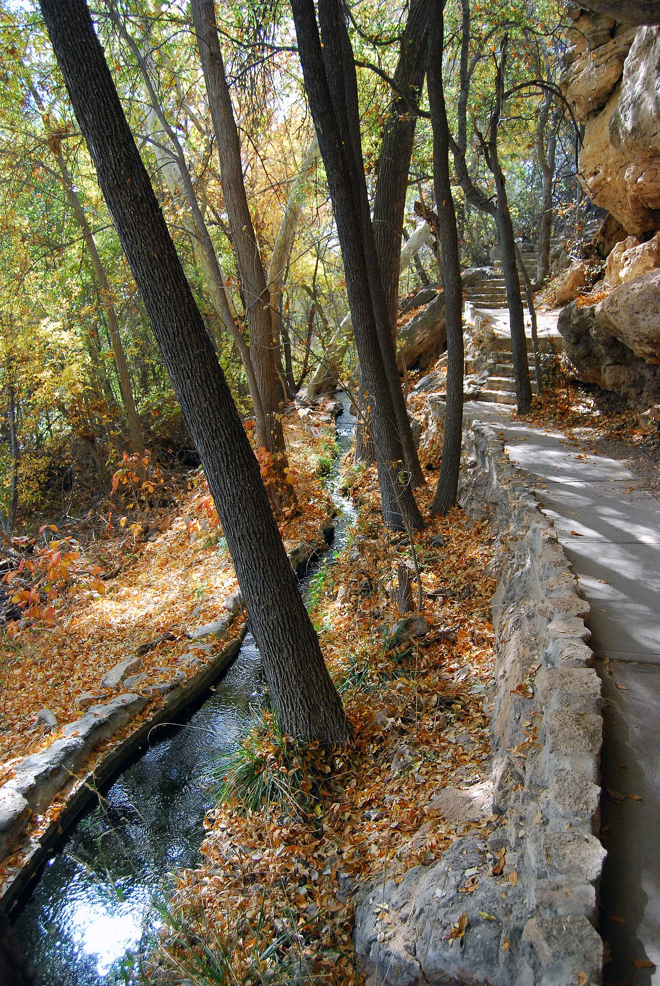
The depth of the water is not know exactly, but at 55 feet depth the sandy bottom is churned by the inrushing water, which falls as rain and snow on the surrounding Mongollon Rim, and is absirbed by the ground at those high elevations, and then it filters down to the rock below the well and bubbles up. Really. The Mogollon Rim or is a topographical and geological feature cutting across the U.S. state of Arizona. It extends approximately 200 miles, starting in northern Yavapai County and running eastward, ending near the border with New Mexico.


No comments yet...
All fields are required, fill in the form.
Comment successfully added.
Comment