

DSC_0910
Here it is. The holes are post holes and fire pit holes.
Capture Date: Nov 2, 2017 10:44 AM•Views: 111
No comments yet. All fields are required, fill in the form. Comment successfully added. Comment
|
DSC_0913
The abutment was perhaps a store room or ceremonial room??
Capture Date: Nov 2, 2017 10:51 AM•Views: 115
No comments yet. All fields are required, fill in the form. Comment successfully added. Comment
|
DSC_0909
This is the next stop, a wide spot in the road to park and this path to a archeologically recovered building foundation covered by the Park Service.
Capture Date: Nov 2, 2017 10:42 AM•Views: 110
No comments yet. All fields are required, fill in the form. Comment successfully added. Comment
|
DSC_0906
The first stop along the road to the Well itself is a grassy picnic meadow surrounded by cooling trees. there are restrooms and tables, and it is bordered by ancient canals as described in this sign.
Capture Date: Nov 2, 2017 10:35 AM•Views: 111
No comments yet. All fields are required, fill in the form. Comment successfully added. Comment
|
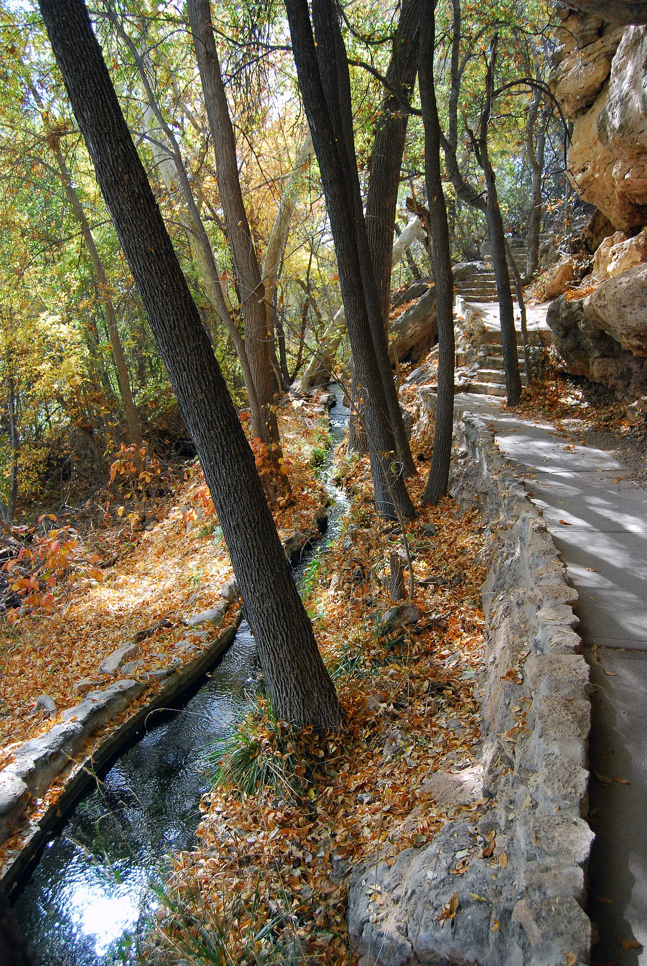
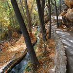
DSC_0907
This is one of the canals, now overgrown with weeds. the sides appear to have been concrete covered, but it is the calcium carbonate deposited on them by the running canal water from Montezuma's Well (see previous photo of sign).
Capture Date: Nov 2, 2017 10:36 AM•Views: 106
No comments yet. All fields are required, fill in the form. Comment successfully added. Comment
|
DSC_0908
The calcium carbonate laver coating the canal can be seen here.
Capture Date: Nov 2, 2017 10:36 AM•Views: 112
No comments yet. All fields are required, fill in the form. Comment successfully added. Comment
|
DSC_0912
The recreation of the structure.
Capture Date: Nov 2, 2017 10:46 AM•Views: 145
No comments yet. All fields are required, fill in the form. Comment successfully added. Comment
|
DSC_0914
sign at the end of the road parking lot.
Capture Date: Nov 2, 2017 10:56 AM•Views: 132
No comments yet. All fields are required, fill in the form. Comment successfully added. Comment
|
DSC_0916
Approaching the well.
Capture Date: Nov 2, 2017 11:03 AM•Views: 138
No comments yet. All fields are required, fill in the form. Comment successfully added. Comment
|
DSC_0915Capture Date: Nov 2, 2017 11:01 AM•Views: 107No comments yet. All fields are required, fill in the form. Comment successfully added. Comment
|
DSC_0917
Overlooking the well which is 470 feet in diameter and about 65 feet down to the water.
Capture Date: Nov 2, 2017 11:04 AM•Views: 117
No comments yet. All fields are required, fill in the form. Comment successfully added. Comment
|
DSC_0919
Three stone houses built under the cliff.
Capture Date: Nov 2, 2017 11:06 AM•Views: 116
No comments yet. All fields are required, fill in the form. Comment successfully added. Comment
|
DSC_0918Capture Date: Nov 2, 2017 11:05 AM•Views: 143No comments yet. All fields are required, fill in the form. Comment successfully added. Comment
|
DSC_0921
The depth of the water is not know exactly, but at 55 feet depth the sandy bottom is churned by the inrushing water, which falls as rain and snow on the surrounding Mongollon Rim, and is absirbed by the ground at those high elevations, and then it filters down to the rock below the well and bubbles up. Really. The Mogollon Rim or is a topographical and geological feature cutting across the U.S. state of Arizona. It extends approximately 200 miles, starting in northern Yavapai County and running eastward, ending near the border with New Mexico.
Capture Date: Nov 2, 2017 11:06 AM•Views: 110
No comments yet. All fields are required, fill in the form. Comment successfully added. Comment
|
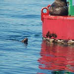
DSC_0922
Ducks (Whippins, or something like that???) the guide called them.
Capture Date: Nov 2, 2017 11:07 AM•Views: 109
No comments yet. All fields are required, fill in the form. Comment successfully added. Comment
|


No comments yet...
All fields are required, fill in the form.
Comment successfully added.
Comment